
A loop hike that begins on a historic trail, climbs Longlong Mountain (433m) and then drops into a valley to explore crumbling ruins. Fumao Old Trail was the path between Fulong and Mao'Ao fishing village before the Northern Coastal Highway was built. A view point just past Longlong Mountain gives a 360 degree view of coast, ocean and mountain ridges and near the base of the mountain are the ruins of several stone houses that are at least a century old. In December 2024 I walked to the houses by way of a much longer and more challenging trail starting on the coast. This more moderate route combines an amazing view with a visit to the ruins and is easily accessible from Fulong Train Station.
Distance/duration: 11.3 km\ 4h 43m
More details as well as a map can be found here on my ramblr account.
Trail Overview: The walk starts at Fulong Train Station. Fulong is a popular place to visit. There is a beach and not far from here is the Old Caoling Tunnel, a former railway tunnel converted into a biking route. There are also campgrounds and lots of places renting bikes and small motorized vehicles to day trippers.
The walk goes along the road for a short distance but soon joins the Fumao Old Trail福卯古道 which is a path that joined Fulong to the fishing village of Mao'Ao on the coast before the opening of the Northern Coastal Highway. Later the route leaves the Fumao trail and climbs through forest and hills covered with silvergrass to Longlong Mountain 隆隆山 (433m). The path starts out surfaced and is later on stone or wooden steps or an eroded dirt path. On the way to the summit there are nice views and the view from a flat point near the summit is excellent. Mostly the trail is clear and wide except where it passes through grassy areas. There is one very steep descent using fixed ropes.
There are a number of old stone houses in the area and an Earth God shrine that are over a century old. The route we took passed the first house on the way up and we explored several other ruins on the way back down. The area is home to a large population of Reeves muntjac deer. The first time I came here, I saw and heard many of them. On my second visit we only heard them but we did see tracks and scat. We also found what I think was the skeleton of a deer.
This was my second visit to Longlong Mountain and the houses. The first time I did a long ridge walk starting on the coast and finishing at Fulong Station. Here is a link to that walk: Shicheng石城 to Longlong Mountain 隆隆山 Ridge Walk and Longlong Mountain Ancient Houses
What to bring: We just took water and snacks. A hat is a good idea on sunny days. Otherwise not much else is needed. There are convenience stores and restaurants in Fulong.
Transportation: The trail is within walking distance of Fulong Train Station and there is frequent service to the station. From Taipei local trains take about an hour and a half, express trains just a little over an hour. You can check the schedule here: https://tip.railway.gov.tw/tra-tip-web/tip?lang=EN_US
Subscribe: To get new posts by email you can subscribe here Subscribe or follow Taiwan Hiking Journal on Facebook
The Hike
We got to Fulong Station just a little after nine. It was a warm, but not hot, sunny day with no chance of rain. We got ready, had a snack at the convenience store and started walking at 9:30.
 |
| Fulong Train Station |
We turned right out of the station and started walking on Lane 2, Fulong Street which becomes Guishougu Street.

In 770 meters (after less than 10 minutes walking) we came to Laoliao Street and turned left. The road passed over a stream in a pretty river valley and by a campground and a place renting bikes and quad-bikes.
 |
| Left turn onto Laoliao Street |


It started out as a concrete track soon passing a small Earth god (Tudigong) shrine.


We passed what I took to be a woman and her adult daughter whom we overheard saying they were going to pray. At first I thought they were going to the Tudigong shrine but they passed it. It was Tomb Sweeping Day so maybe they were going to a family tomb. They would be the only other people that we would see on the trail all day.
We came to a point where the concrete track curved to the left to a house but the trail went straight. It climbed steps made of earth and wood and later, stone.


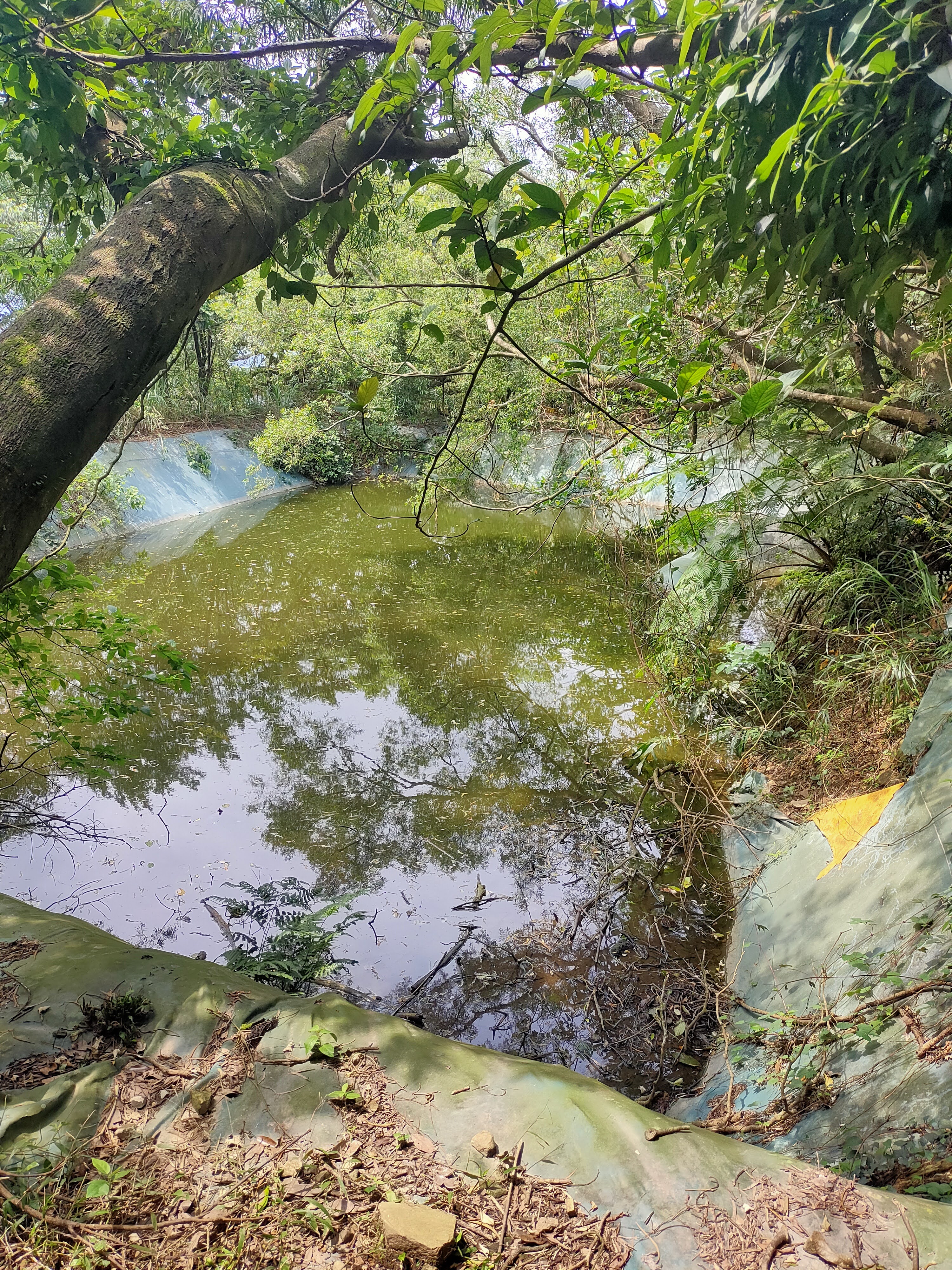
We crossed a small stream where there was a stone slab--the remains of an old foot bridge.


Not long after this we came to a junction.

The trail on the right leads to the other stone houses near the base of the mountain but we continued straight. Just past the junction was short side trail on the right that led the Lai family stone house. There is one smaller structure and two bigger ones. We spent quite a bit of time looking around and taking photos.


We continued uphill. The trail got closer to a road on our left. We could not see it but we could hear traffic.

Then we came to a major junction with three paths on the right and one on the left. The left turn leads to the road after just a few meters. We took the first path on the right which goes to Longlong Mountain. We reached this point at 10:45--about an hour and 15 minutes after we started walking.
 |
| In this photo my hiking partner is checking out the path to the road. We took the first right which can be seen in the foreground. |
I had expected the trail to get be more narrow and a lot steeper at this point but in fact it was still relatively wide and gentle all the way to the summit. There were some steep areas but it was definitely not as strenuous as I had expected. We climbed to a ridge with nice views in both directions.


It took us 45 minutes to get to the summit. We went over a small hill, through a saddle and then climbed through waving silver grass to the summit itself.

 |
| Fulong Beach seen from Longlong Mountain |

A slightly higher point just past the summit offers an even better view.


This is the path leading back to the base of the mountain and the other stone houses. There are some sections with fixed ropes and places where trees have fallen across the path but overall its a nice gentle trail. After a while it joined a small burbling stream that flowed to the left of the trail.


The path is a little confusing here but we just followed the flags and I used Maps.me on my phone. Leaving the house complex, we turned right and downhill at a junction took a path on the right that leads to the rest of the Wu house complex. This structure is little more than rubble but it is worth seeing since it is not far.


We walked down the road and passed a century old Earth god shrine.

 |
| Turn right before the stream crosses the road to go to the Xiao and Chen stone houses |
We took the path on the right, crossing a small stream in a ravine.


Just past this house there is a T-junction. The right path leads back to the Fumao Old Trail but first we turned left and walked a short way to the Chen family house. In my opinion it is the most striking of them all because one of the structures is covered in gnarled roots. There is an older structure and a more modern building made out of brick.

We went back out to the path and turned left, passing the Xiao house again and joining the path that led back to the Fumao Old Trail.

 |
| arriving back at the junction with the Fumao Old Trail |
Its just under 1 km back to the junction where we turned left and walked back to Fulong Train Station. It was mid-afternoon on a holiday weekend and Fulong was heaving. We had 45 minutes to wait for our train so bought beers and drank them on the steps of the police station watching packs of people passing on bikes and on foot.
Nearby walks:
Shicheng石城 to Longlong Mountain 隆隆山 Ridge Walk and Longlong Mountain Ancient Houses
Subscribe: To get new posts by email you can subscribe here Subscribe or follow Taiwan Hiking Journal on Facebook
Map and GPS coordinates:
Fumao Old Trail trailhead: 25.013892, 121.955887
Longlong Mountain: 25.001495, 121.975029
Lai old stone house: 25.00986, 121.970831
Wu old stone house: 25.001952, 121.971447
Chen old stone house: 25.000825, 121.969844
Xiao and Shen old stone houses: 25.005437, 121.966001
.png)
No comments:
Post a Comment